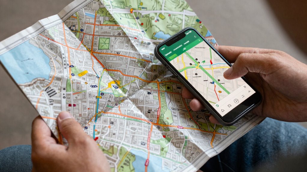

Using both paper maps and digital tools gives you a more reliable, engaging, and accurate navigation experience. Digital devices offer real-time updates and easy route adjustments, while paper maps provide detailed terrain and historical context that technology can’t always show. Relying on both methods guarantees you’re prepared for issues like signal loss or device failure. By combining these tools, you’ll navigate confidently and enjoy a richer understanding of your surroundings—if you keep exploring, you’ll uncover even more benefits.

Get emergency and outdoor gear delivered free with Prime
- Fast, free delivery on millions of items
- Prime Video, Amazon Music and more included
- Member-only deals all year
Key Takeaways
- Combining detailed terrain data from paper maps with real-time updates from digital tools enhances overall navigation accuracy.
- Paper maps provide a reliable backup during digital device failures or signal loss, ensuring safety.
- Using both methods fosters active spatial awareness and deeper geographic understanding.
- Digital tools offer efficiency and real-time information, while paper maps contribute historical context and accuracy.
- The synergy creates a safer, more adaptable, and enjoyable navigation experience.
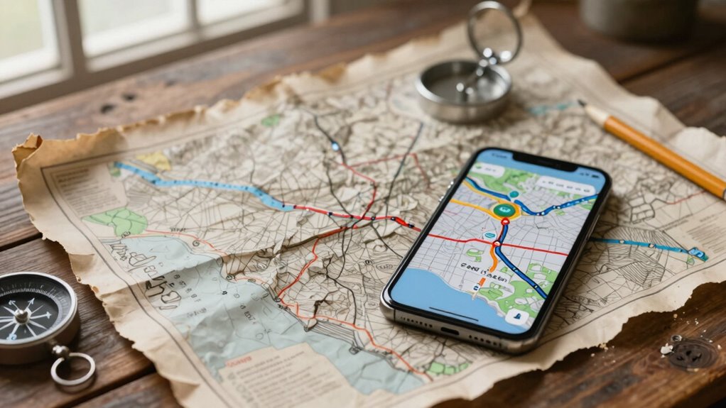
While digital tools have revolutionized navigation, combining them with traditional paper maps can enhance your overall experience. Relying solely on a screen might seem convenient, but integrating paper maps adds a layer of reliability and context that digital devices sometimes lack. For instance, paper maps often feature historical accuracy in their cartography, offering detailed representations of terrain, landmarks, and routes based on meticulous survey methods. This historical accuracy can give you a deeper understanding of the area, revealing geographic features or historical sites that might not be highlighted on digital platforms. When you use a paper map alongside digital tools, you gain a broader perspective, enriching your user experience by blending the precise, data-driven insights of technology with the tangible, spatial awareness provided by traditional maps.
Combining paper maps with digital tools enriches navigation with historical accuracy and a broader, more reliable perspective.
Using both methods together also boosts your confidence and preparedness. Digital tools are fantastic for real-time updates, GPS tracking, and quick route adjustments, but they depend heavily on battery life and signal strength. When your device runs out of power or loses connection, a paper map becomes an invaluable backup, ensuring you’re never truly lost. This redundancy not only improves safety but also enhances your overall user experience, making navigation more seamless and less stressful. You develop an intuitive sense of direction that isn’t solely reliant on technology, which can often be unpredictable in remote areas or challenging environments.
Furthermore, the combination encourages a more active engagement with your surroundings. Digital tools can sometimes encourage passive following of instructions, but when you study a paper map, you’re actively interpreting terrain, routes, and landmarks. This engagement fosters a richer, more immersive experience, allowing you to appreciate geographic features and historical contexts that digital maps might gloss over. It also helps you develop better spatial awareness, which is crucial when venturing into unfamiliar territory. The tactile nature of paper maps provides a different kind of user experience—one that’s grounded, tangible, and memorable—complementing the quick, data-rich insights of digital tools. Additionally, understanding the importance of cartography can deepen your appreciation for how maps are created and used, enhancing your navigational skills.
By combining these tools, you can also better recognize the limitations of digital technology, ensuring you’re prepared for situations where digital navigation might fail or be less effective. For example, digital devices can sometimes be affected by interference or technical issues, which could impair your ability to navigate accurately. Ultimately, integrating paper maps with digital navigation creates a balanced approach that leverages the strengths of both. You benefit from the detailed, historical accuracy and increased user experience that traditional maps provide, while also enjoying the convenience, real-time data, and efficiency of digital tools. This synergy ensures your navigation is more reliable, enriching, and adaptable to various situations, making your journeys safer and more enjoyable.
topographic paper maps for hiking
As an affiliate, we earn on qualifying purchases.
As an affiliate, we earn on qualifying purchases.
Frequently Asked Questions
How Do Paper Maps Enhance Digital Navigation Experiences?
Paper maps enhance digital navigation by offering traditional accuracy that digital screens sometimes lack, especially in remote areas. They allow for tactile exploration, giving you a tangible sense of your surroundings and route planning. When digital tools falter, you can rely on paper maps for a clear overview. Combining both gives you a seamless experience, ensuring you’re always confident in your navigation, whether digitally or traditionally.
Can Combining Both Tools Improve Safety During Travel?
Yes, combining both tools can improve your safety during travel. Paper maps offer route accuracy and visual clarity, helping you stay oriented even if digital devices fail or lose signal. Digital tools provide real-time updates, traffic alerts, and precise directions. Using both guarantees you always have reliable navigation, reduces the risk of getting lost, and helps you make better decisions on the road, ultimately enhancing your safety throughout your journey.
What Are the Environmental Impacts of Using Paper Maps?
Did you know producing one paper map can use up to 250 gallons of water? Using paper maps impacts environmental conservation and resource sustainability by contributing to deforestation and water consumption. While they’re reusable, manufacturing and disposal create waste and pollution. To lessen your environmental footprint, opt for digital tools when possible, and if you use paper maps, choose recycled paper and support sustainable practices to help protect our planet.
How Do Digital Tools Assist in Updating Paper Maps?
Digital tools assist in updating paper maps by guaranteeing map accuracy through real-time data synchronization. You can input new information or corrections into digital systems, which then instantly update the data. This seamless process helps maintain accurate representations of roads, landmarks, and routes. By leveraging digital tools, you make sure your paper maps stay reliable and current, reducing errors and improving navigation, especially in rapidly changing environments.
Are There Specific Scenarios Where Paper Maps Outperform Digital Tools?
You might find paper maps outperform digital tools when historical accuracy and tactile experience matter most. In remote areas with limited signal, paper maps remain reliable, providing a tangible sense of geography that digital screens can’t replicate. They excel in preserving historical details, offering a static snapshot of past landscapes. When digital devices fail or distract, paper maps give you a focused, real-world connection, making them invaluable in specific scenarios.
digital GPS navigation devices with offline maps
As an affiliate, we earn on qualifying purchases.
As an affiliate, we earn on qualifying purchases.
Conclusion
By blending paper maps with digital tools, you unlock a navigation superpower that’s unbeatable. You’ll find that each complements the other’s strengths, turning even the most complex journeys into a smooth adventure. Relying on just one can feel like steering through a maze with a flickering flashlight, but together, they become an unstoppable duo. Embrace this synergy, and you’ll traverse with confidence, clarity, and an edge that’s truly extraordinary—like having a personal GPS wizard at your side.
As an affiliate, we earn on qualifying purchases.
compass and map set for outdoor adventures
As an affiliate, we earn on qualifying purchases.
As an affiliate, we earn on qualifying purchases.
Halloween Picks
halloween
As an affiliate, we earn on qualifying purchases.