
Paper maps aren’t obsolete because they provide a tactile, reliable way to navigate without relying on batteries or signals. They help you see the big picture, enhance your skills, and connect with local culture and history. Plus, they’re eco-friendly and ideal for outdoor adventures or emergencies. If you want to discover how traditional maps boost your independence and preserve heritage, keep exploring how they complement digital tools perfectly.
Key Takeaways
- Paper maps provide reliable, offline navigation, crucial during power outages or signal loss.
- They enhance spatial awareness and mental mapping skills, fostering independence in unfamiliar environments.
- Traditional maps preserve cultural and historical information, maintaining a connection to community heritage.
- They serve as durable, tactile tools for outdoor activities, unaffected by technological failures.
- Combining paper maps with digital tools offers a comprehensive, safer approach to navigation and exploration.

Rocky Mountain National Park (National Geographic Trails Illustrated Map)
Trails Illustrated Map: Rocky Mountain National Pa
As an affiliate, we earn on qualifying purchases.
As an affiliate, we earn on qualifying purchases.
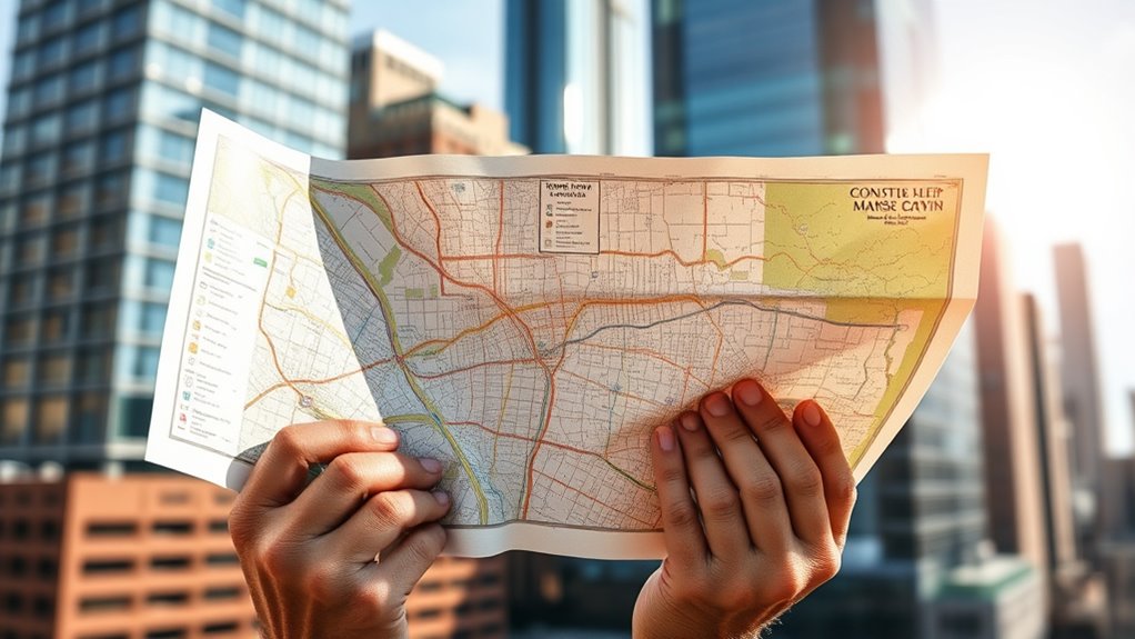
The Tangible Experience of Using Paper Maps
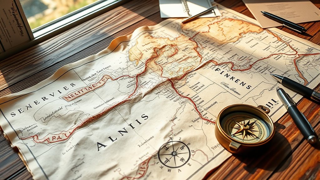
Despite the rise of digital navigation tools, many still cherish the tangible experience of using paper maps. Holding a paper map in your hands offers a tactile experience that screens can’t replicate. You can feel the paper’s texture, which makes the navigation process more engaging and memorable. The physical act of unfolding and flipping pages keeps you connected to your surroundings in a way that digital devices often lack. Plus, paper maps provide excellent visual clarity—details are displayed clearly without the clutter or distractions of digital screens. You can quickly scan an entire area at once, giving you a holistic view of your route and nearby landmarks. This sensory connection and clarity make using paper maps a thoroughly satisfying experience, even in today’s digital age. Additionally, paper maps often have high resolution, which displays intricate details sharply, ensuring you don’t miss any important features. Their durability in outdoor conditions makes them reliable even when electronic devices fail or run out of power. Moreover, many paper maps are designed with topographical details, helping navigators better understand elevation changes and terrain features. Furthermore, paper maps foster spatial awareness, helping navigators develop a better understanding of geography beyond digital shortcuts. A well-crafted paper map can also help develop navigation skills that are useful in various real-world situations.

Rio Grande River, Colorado Fishing Map
gps accurate
As an affiliate, we earn on qualifying purchases.
As an affiliate, we earn on qualifying purchases.
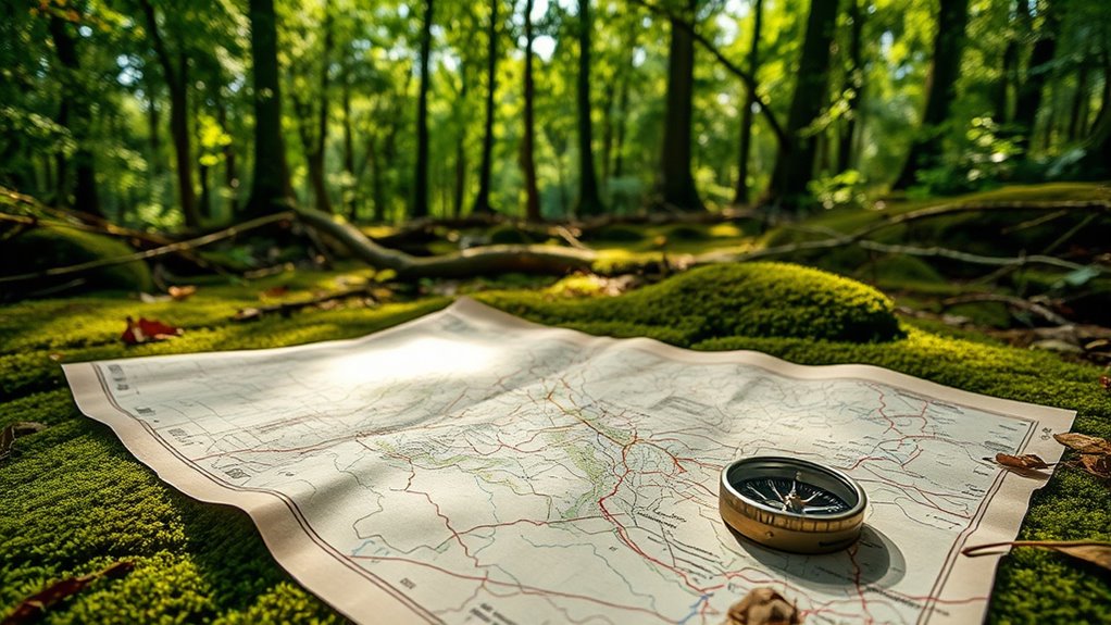
Reliability in Power Outages and Technology Failures
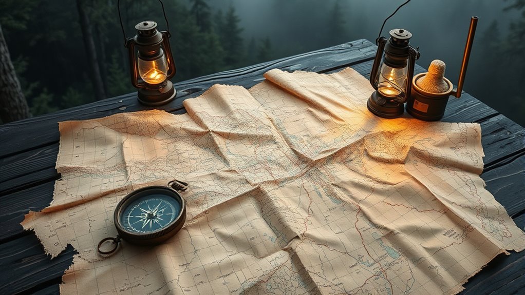
While the tactile and visual advantages of paper maps are undeniable, their reliability often surpasses that of digital navigation tools in critical situations. When power outages or tech failures occur, paper maps don’t rely on backup power or internet connections. You can navigate confidently offline, avoiding disruptions caused by dead batteries or signal loss. This offline reliability guarantees you stay on course without dependence on technology that can fail unexpectedly. Furthermore, paper maps are vetted by professionals for accuracy and quality, ensuring dependable guidance when it’s most needed. In emergencies, a paper map remains a dependable resource, giving you peace of mind when digital tools become unreliable. Its resilience in challenging conditions makes it an essential backup during power failures or tech disruptions, especially since accurate cartography is crucial for safe navigation in unfamiliar environments. Additionally, map durability ensures they withstand harsh conditions, making them a trusted resource when digital options are compromised. Having a physical navigation tool like a paper map can be a lifesaver in remote or disaster scenarios where digital signals are unavailable. Moreover, their simple design minimizes the risk of technical malfunction, further enhancing their dependability in critical moments.

24×36 United States, USA Classic Elite Wall Map Mural Poster (Laminated Rolled)
Large United States Wall Map
As an affiliate, we earn on qualifying purchases.
As an affiliate, we earn on qualifying purchases.
The Broader Perspective: Seeing the Big Picture
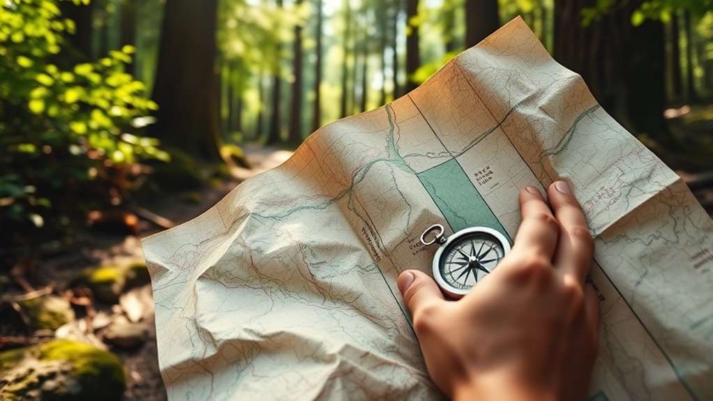
Seeing the big picture is essential for making informed decisions and understanding how individual elements fit into a larger context. When you develop your spatial awareness, you gain a clearer view of your surroundings and how different features connect. This overarching perspective helps you avoid getting lost in details and enables better route planning. Paper maps excel at showing the broader landscape, allowing you to see routes, landmarks, and terrain at a glance. This holistic view enhances your overall understanding of your environment, fostering confidence and independence. By cultivating your spatial awareness through traditional navigation tools, you’re better equipped to adapt to unexpected situations and make smarter choices. Developing spatial awareness is a key component in seeing the big picture and navigating effectively. In essence, seeing the big picture isn’t just about navigation—it’s about truly understanding your place within a larger world, which can be reinforced by visual spatial skills that traditional maps help develop.

United States, Pacific Northwest Map (National Geographic Adventure Map, 3118)
As an affiliate, we earn on qualifying purchases.
As an affiliate, we earn on qualifying purchases.
Enhancing Navigation Skills and Spatial Awareness
Enhancing your navigation skills and spatial awareness requires deliberate practice and mindful observation. By actively engaging with your environment, you strengthen your mental mapping and develop sharper spatial intuition. This helps you interpret landmarks, distances, and directions more effectively. To improve, try these strategies:
Enhance your navigation skills through mindful observation and active engagement to strengthen mental mapping and spatial intuition.
- Practice creating mental maps of familiar areas to reinforce spatial understanding.
- Challenge yourself with new routes, paying attention to landmarks and terrain features.
- Use your senses actively—notice smells, sounds, and textures to anchor your mental picture of a location.
- Incorporating sound vibrations into your awareness can deepen your perception of surroundings and improve orientation.
- Developing mental mapping skills enhances your ability to navigate confidently without relying solely on digital tools, fostering an intuitive sense of space and direction that remains valuable in any setting. Additionally, understanding the benefits of traditional navigation can motivate you to refine these skills further.
- Cultivating sensory awareness can also improve your overall navigation and deepen your connection with your environment, especially as it relates to cloud service disruptions that impact reliance on digital tools.
The Educational and Recreational Value of Paper Maps

Paper maps offer more than just a means of navigation; they serve as valuable tools for education and recreation. When you engage in map reading, you develop a deeper understanding of spatial relationships and geography, which enhances your overall spatial understanding. Using paper maps encourages active learning, requiring you to interpret symbols, scales, and directions, making the experience interactive and memorable. Recreational activities like orienteering or hiking with maps can boost your problem-solving skills and foster a sense of adventure. Additionally, exploring maps teaches patience and attention to detail, enriching your appreciation for landscapes and communities. Moreover, the process of reading and understanding paper maps can improve your mental mapping skills, which are beneficial in many real-world situations. This skill can also aid in developing spatial awareness, an essential component in various fields such as navigation, urban planning, and even gaming. Developing these skills through traditional map reading can also strengthen your visual perception, helping you process spatial information more effectively. Furthermore, engaging with physical maps can enhance your cognitive mapping, leading to better memory retention of geographic features. Recognizing the importance of tactile learning, working with paper maps provides a multi-sensory experience that digital tools often lack. Overall, paper maps provide a hands-on approach that not only fosters educational growth but also adds a layer of enjoyment to outdoor exploration.
Accessibility and Independence for All Users
Accessible design makes certain that everyone can navigate and understand maps without barriers, fostering independence. Digital tools help overcome issues faced by users with visual or mobility challenges. When maps are inclusive, communities grow more connected and engaged. Incorporating wellness and organization features into traditional maps can further support diverse user needs, ensuring that navigation promotes overall user well-being. Additionally, applying principles from auditory processing strategies can enhance map usability for individuals with sensory sensitivities, making navigation accessible and effective for all.
Inclusive Design Benefits
Inclusive design guarantees that everyone can use maps effectively, regardless of their abilities or circumstances. It assures that navigational tools foster accessibility and independence for all users. Tactile feedback plays a vital role, allowing visually impaired individuals to feel their way through maps or routes. A multisensory experience engages more senses, making navigation clearer and more intuitive. By incorporating these features, maps become more than just visual tools—they become accessible aids. Additionally, incorporating hydrotherapy principles such as water-based cues can enhance accessibility for users with mobility challenges. Understanding body jewelry materials and their properties can also inform the development of tactile and multisensory map features that are safe and durable. Incorporating accessible design standards ensures that navigational aids meet diverse user needs and promote independence across different environments.
Overcoming Digital Barriers
As technology shifts from physical maps to digital navigation tools, new barriers can arise that limit access and independence for many users. Not everyone finds digital interfaces easy to use, especially those with visual impairments or limited tech experience. Ensuring user-friendly interfaces and offline access is vital to overcome these challenges. Without offline options, users depend on constant internet connection, which isn’t always reliable. Accessibility features like voice guidance or high-contrast modes help bridge gaps, but they’re not universal. To illustrate, consider the table below:
| User Needs | Digital Barriers | Solutions |
|---|---|---|
| Visual impairments | Difficult interface navigation | Screen readers, high contrast |
| Connectivity issues | Limited offline access | Download maps ahead |
| Tech literacy | Complex app design | Simplified, intuitive design |
| Remote areas | Lack of internet | Offline maps |
| Age-related challenges | Small icons, confusing menus | Larger buttons, clear labels |
Enhancing Community Engagement
How can communities foster greater engagement and guarantee that everyone can participate fully? By promoting community collaboration and supporting local mapmaking efforts, you empower all users to access information easily. Engaging diverse voices ensures maps reflect everyone’s needs, from seniors to those with disabilities. You can host workshops to teach local residents how to create accessible maps or partner with organizations dedicated to inclusivity. These efforts build trust and shared ownership of community resources. When people see their input reflected, they become more invested in navigation and planning. Ultimately, fostering inclusive local mapmaking strengthens independence and connects everyone to their environment. It’s about making sure no one is left behind in the journey toward accessible, participatory communities.
Environmental Considerations and Sustainability
Switching from paper maps to digital navigation considerably reduces environmental impact by cutting down on paper consumption and waste. Paper maps require significant use of sustainable materials and eco friendly printing processes, which consume resources and generate pollution. By choosing digital options, you help minimize deforestation and reduce landfill waste from discarded maps. Digital navigation tools also lower the energy and chemicals involved in producing physical maps, making them a more sustainable choice overall. Plus, digital maps can be updated instantly, eliminating the need for frequent reprints. This shift supports environmental conservation efforts and promotes sustainable practices. In essence, fundamentally, opting for digital navigation aligns with a commitment to protecting natural resources and reducing your ecological footprint.
Combining Traditional and Digital Navigation Tools
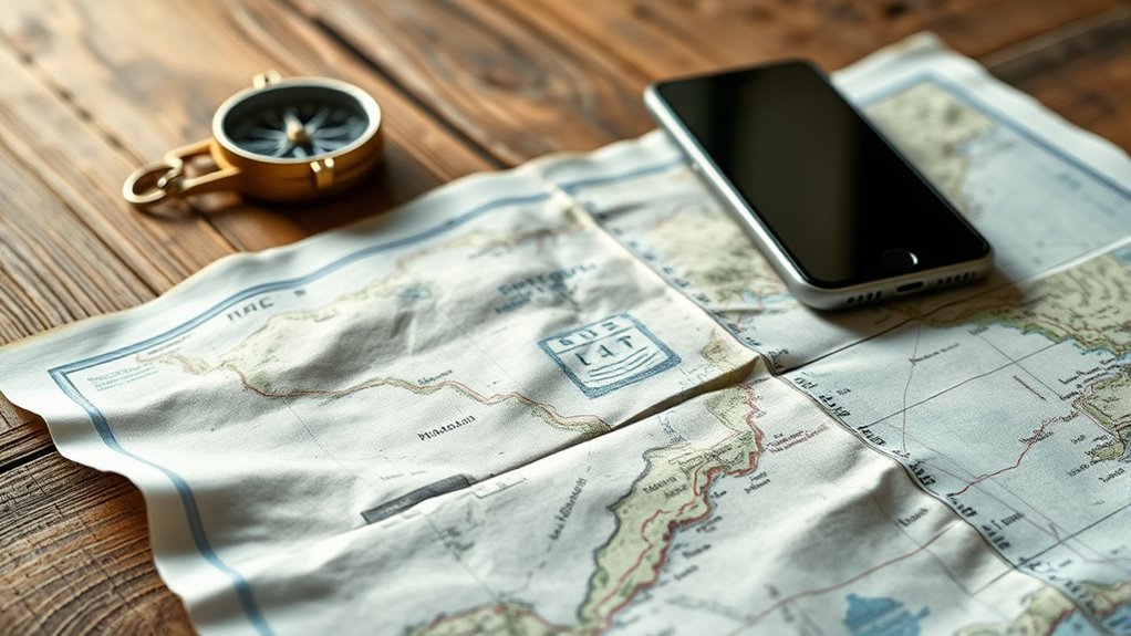
You can improve your safety and reliability by using both paper maps and digital tools together. This balance helps you stay prepared if technology fails or signals drop. Combining these methods also sharpens your navigation skills and keeps traditional knowledge alive.
Enhancing Safety and Reliability
While traditional paper maps are becoming outdated, combining them with digital navigation tools can substantially enhance safety and reliability. Using a paper map allows for manual orientation, helping you understand your location without relying solely on electronic signals. Tactile feedback from folded maps or compass readings offers a physical sense of direction, reducing the risk of disorientation. Digital tools can provide real-time updates, but they may fail or lose signal in remote areas. By integrating both, you create a dependable backup system. This blended approach guarantees you stay on track even if one method falters, giving you confidence in unfamiliar terrain.
- Reinforces situational awareness with manual checks
- Offers immediate tactile cues for orientation
- Ensures navigation continuity during tech failures
Balancing Tech and Tradition
Combining traditional and digital navigation tools creates a versatile approach that maximizes safety and efficiency. Using both methods helps you stay prepared, especially during outdoor adventures where technology might fail. Balancing tech and tradition allows you to enjoy a digital detox when needed, reducing distractions and enhancing your connection with nature. To illustrate, consider this table:
| Benefit | Traditional Tools | Digital Tools |
|---|---|---|
| Reliability | No batteries, always accessible | Real-time updates |
| Skill Development | Enhances map reading skills | Easy route planning |
| Safety | Backup in case of tech failure | GPS tracking for emergencies |
This balance keeps you adaptable, ensuring you stay safe and confident, whether you’re exploring remote trails or navigating urban landscapes.
Developing Navigation Skills
Developing strong navigation skills requires practice with both traditional and digital tools, as relying solely on one can limit your effectiveness. To improve, focus on honing your map reading and route planning abilities. Combining these skills ensures you’re prepared for any situation, whether digital devices fail or you’re in unfamiliar terrain.
You can:
- Practice reading paper maps to understand scale, symbols, and orientation.
- Use digital tools to plan routes, then compare them with your map reading to verify accuracy.
- Simulate navigation exercises that challenge your ability to switch between digital and traditional methods seamlessly.
Preserving Cultural and Historical Significance

Have digital maps truly captured the cultural and historical essence of places, or are we at risk of losing these valuable connections? Relying solely on digital navigation can diminish our appreciation for a location’s cultural preservation and historical significance. Paper maps often highlight local landmarks, unique street layouts, and traditional routes that tell stories of a community’s past. These details foster a deeper connection to the history and identity of a place, enriching your experience beyond mere directions. Losing this tangible link risks erasing the stories embedded in a city’s fabric. By valuing traditional maps, you help preserve these cultural and historical treasures, ensuring future generations can appreciate the authentic character and legacy that make each place unique.
Frequently Asked Questions
How Do Paper Maps Help in Emergency Rescue Situations?
In emergency rescue situations, paper maps are essential for rescue coordination and terrain assessment. They provide a reliable, battery-free way to pinpoint locations, plan routes, and understand the landscape quickly. You can easily share detailed information with team members, even in remote areas with no signal. This hands-on approach helps you make informed decisions, ensuring safer, more effective rescues when electronic devices might fail or be impractical.
Can Paper Maps Be Customized for Specific Local or Personal Use?
Yes, paper maps can be customized for your personal use, making them tailored to your needs. You can add markers, notes, or highlights to emphasize local specificities, turning a standard map into a personalized guide. This customization helps you navigate unfamiliar areas with confidence, much like a trusty compass pointing you in the right direction. It’s a simple way to keep your navigation tools as unique as your adventures.
What Are the Cost Differences Between Digital and Paper Navigation Tools?
Digital navigation tools generally cost less upfront than paper maps, especially since many apps are free or have low subscription fees. However, you might spend more on data plans or device maintenance. A cost comparison shows that paper maps are a one-time purchase, making them more affordable over time, especially if you’re on a tight budget. An affordability analysis reveals digital tools are convenient but can add ongoing expenses.
How Do Paper Maps Influence Cultural Awareness and Local Traditions?
You might think paper maps are outdated, but they actually deepen your understanding of cultural identity and local customs. When you use a paper map, you engage more with your surroundings, noticing regional landmarks and traditional routes. This fosters respect for local traditions and helps you connect authentically. Unlike digital tools, paper maps encourage exploration and appreciation of a place’s unique heritage, making your journey richer and more meaningful.
Are There Innovations Improving the Durability of Paper Maps?
Yes, innovations like map laminate and waterproof paper greatly improve the durability of paper maps. These advancements protect maps from water, tears, and wear, making them last longer in rugged outdoor conditions. When you use laminated maps or waterproof paper, you guarantee they stay intact during your adventures. These innovations help preserve traditional navigation tools, making them reliable even in harsh environments, and keep the tradition alive for future users.
Conclusion
While digital maps are convenient, don’t underestimate the value of paper maps. They offer reliability during outages, help you see the big picture, and boost your navigation skills. Some argue that digital tech will eventually replace paper maps, but history shows that preserving traditional tools maintains cultural significance and enhances independence. Embracing both methods guarantees you’re prepared for any situation, blending innovation with timeless skills that stay relevant, even as technology evolves.