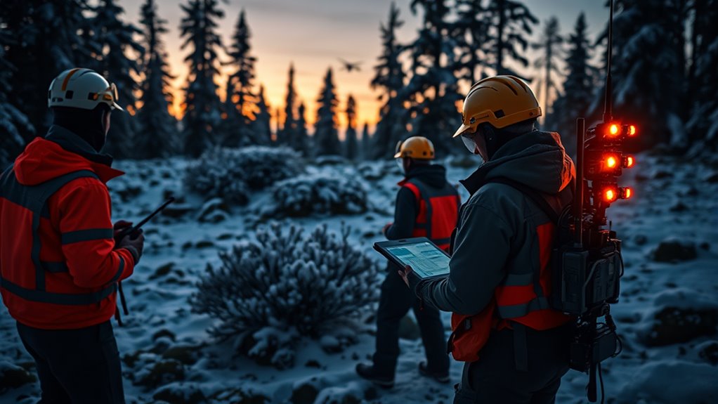

Rescue teams find you using advanced tech like Personal Locator Beacons that send satellite signals with your exact location when activated. Drones equipped with thermal and high-res cameras can scan large, inaccessible areas quickly, detecting body heat or visual clues. These tools work together to reduce rescue times and improve safety. If you want to discover more about how these systems coordinate and improve rescue efforts, keep exploring this innovative field.
Key Takeaways
- Rescue teams use satellite signals from PLBs to pinpoint exact emergency locations with high accuracy.
- Drones equipped with thermal cameras detect body heat signatures in challenging terrains or low visibility.
- Satellite communication networks relay distress signals from PLBs to rescue centers rapidly.
- Real-time aerial imagery from drones helps assess hazards and plan safe rescue routes.
- Combining PLB signals and drone surveillance enables faster, more precise search and rescue operations.

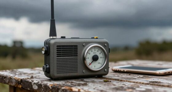
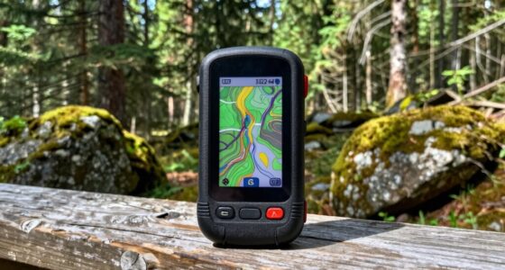
Have you ever wondered how technology is transforming search and rescue missions? Today’s teams rely on advanced tools to locate stranded or lost individuals quickly and efficiently. One of the most vital devices is the Personal Locator Beacon (PLB). When you activate a PLB, it sends a distress signal via satellite, alerting rescue authorities to your exact location. These compact devices are designed to work in remote areas where cell signals might be nonexistent, making them crucial for hikers, boaters, and adventurers. Once activated, the PLB transmits your coordinates to satellite networks, which relay the information to rescue teams. This technology drastically reduces the time it takes to find you, often pinpointing your position within meters. The accuracy and reliability of PLBs have revolutionized survival chances, especially in wilderness or ocean environments where traditional communication methods fail. Additionally, high refresh rates in some rescue tracking devices enable real-time updates, further improving response times.
Alongside personal devices, drone surveillance has become a game-changer for search and rescue teams. Drones equipped with high-resolution cameras and thermal imaging fly over large, inaccessible areas, providing real-time aerial views. They can quickly cover difficult terrain such as dense forests, rugged mountains, or open waters, where ground teams might take hours or even days to reach. Thermal imaging cameras allow rescuers to spot body heat signatures, even in complete darkness or thick foliage. This capability saves precious time and increases the chances of a successful rescue. Drones can also be used to assess hazardous conditions before teams move in, reducing risks to human rescuers. The combination of drone surveillance with GPS and mapping technologies helps teams coordinate their efforts more effectively, ensuring no area is left unchecked.
Together, Personal Locator Beacons and drone surveillance exemplify how modern search and rescue uses technology to save lives. When you’re in trouble, these tools work behind the scenes to locate you quickly, often before you even realize help is on the way. Rescue teams can respond faster than ever, thanks to satellite communication from PLBs and the aerial perspective provided by drones. These innovations not only enhance the precision of rescues but also improve safety for both victims and rescuers. As technology advances, expect even more sophisticated tools to emerge, making search and rescue operations more efficient and successful. So, whether you’re exploring remote wilderness or navigating open waters, understanding how these rescue technologies work can give you peace of mind—knowing that if something goes wrong, help is more capable and faster than ever before.

McMurdo FastFind 220 Personal Locator Beacon – US Programming
- Pre-programmed for US registration: Initial contact with US SAR authorities
- Worldwide functionality: Operates globally, US contact default
- Optional international registration: Reprogramming available for other countries
As an affiliate, we earn on qualifying purchases.
As an affiliate, we earn on qualifying purchases.
Frequently Asked Questions
How Accurate Are Rescue Signal Tracking Devices in Dense Forests?
In dense forests, rescue signal tracking devices offer decent signal precision but can face device limitations. Thick foliage and terrain can interfere with signals, reducing accuracy. You might find the device’s precision drops, making it harder for rescue teams to pinpoint your location quickly. However, advancements in technology continue to improve reliability, so while not perfect, these devices still markedly increase your chances of being found in challenging environments.
Can Rescue Teams Locate Signals Behind Obstacles Like Walls or Mountains?
Rescue teams can often locate signals behind obstacles like walls or mountains using signal triangulation combined with obstacle penetration techniques. They deploy multiple antennas to pinpoint your location, even if direct line-of-sight is blocked. Advanced technology allows their equipment to detect signals that pass through barriers, enabling teams to narrow down your position accurately. So, even behind obstacles, rescue teams can usually find you efficiently with the right tools.
What Is the Typical Battery Life of Rescue Communication Devices?
Ironically, your rescue device’s battery life often isn’t long enough when you need it most. Typically, these communication devices offer a battery longevity of about 6 to 12 hours, depending on use. Rescue teams optimize power management to extend operation, but heavy usage or cold conditions can drain batteries faster. Always carry spare batteries or chargers, because even the best tech can run out of power just when you need it most.
Are Rescue Signals Affected by Weather Conditions or Atmospheric Interference?
Weather conditions and atmospheric interference can cause signal disruption, making it harder for rescue teams to locate you. Rain, snow, fog, and thunderstorms can weaken or block signals, while atmospheric interference from solar activity or electrical storms can distort the transmission. You should stay calm, and rescue teams will use specialized equipment to overcome these challenges and find your location despite adverse weather or atmospheric interference.
How Quickly Can Rescue Teams Locate Someone Using Signal Tracking Technology?
Ever wonder how fast rescue teams find you? With signal triangulation and satellite relays, they can locate you within minutes, sometimes even seconds, depending on terrain and conditions. The team rapidly analyzes your signal’s strength and direction, using specialized equipment to pinpoint your location accurately. This quick response saves lives, making rescue operations more efficient and effective—so staying calm and keeping your device active really matters.

Thermal Camera Fpv 256/384/640 9MM Thermal Imaging Camera For FPV Drones With CVBS Interface Micro Imager Module(256X192 9mm CVBS)
- High-Resolution Thermal Imaging: Available in 256, 384, 640 resolutions
- Compact 9mm Lens: Balances field of view and detection range
- CVBS Video Output: Ensures broad compatibility with FPV systems
As an affiliate, we earn on qualifying purchases.
As an affiliate, we earn on qualifying purchases.
Conclusion
Now you see how rescue teams track your signal, how they listen for your call, how they follow your trace. They rely on technology, on skill, on hope. When you’re lost, they’re searching for you with unwavering dedication, with relentless determination, with compassionate hearts. Because every signal they find means a life saved, a story continued, a family’s hope restored. Remember, in every search, their purpose is clear: to find you, to help you, to bring you home.

ACR ResQLink 400 – SOS Personal Locator Beacon with GPS and Global Coverage – Designed to Alert Search and Rescue Efforts for Any Outdoor Emergency – Ideal for Hiking, Hunting, Boating, Fishing
- No Subscription Needed: No ongoing fees for rescue readiness
- 406 MHz Emergency Signals: Provides accurate location alerts to rescuers
- LED and Infrared Strobe: Enhances visibility in low-light conditions
As an affiliate, we earn on qualifying purchases.
As an affiliate, we earn on qualifying purchases.

Autel Robotics EVO Lite 640T Enterprise Bundle, 866g Lightweight
- Lightweight and Compact Design: 866g weight, foldable, portable size
- Supports Remote ID: Enables remote identification features
- Thermal Imaging Sensor: 640×512 resolution at 30Hz, -20°C to 550°C
As an affiliate, we earn on qualifying purchases.
As an affiliate, we earn on qualifying purchases.