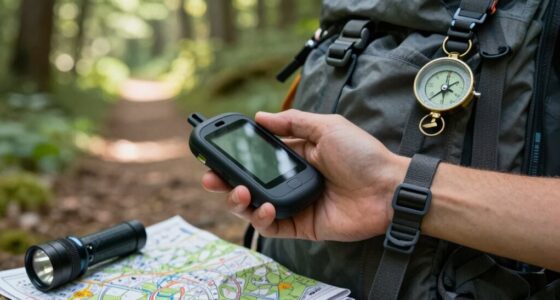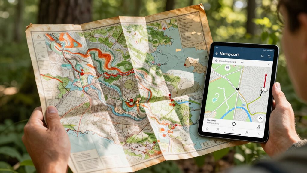

Using both paper maps and digital tools together gives you the best of both worlds. Paper maps offer reliable, detailed geographic information that doesn’t rely on signal or power, helping you understand regional history and terrain. Digital tools provide real-time updates, traffic alerts, and quick searches, making navigation more flexible. Combining these approaches guarantees accuracy, reduces dependency on tech, and prepares you for unexpected situations. To discover how these methods complement each other, keep exploring this approach.
Key Takeaways
- Combining both provides a reliable, detailed overview with real-time updates and traffic alerts for enhanced navigation.
- Paper maps preserve historical geographic information, while digital tools offer current, dynamic data.
- Using both reduces environmental impact by minimizing reliance on energy-consuming electronic devices.
- Calibration and traditional skills ensure accuracy and confidence when switching between tools or facing digital failures.
- Integrating methods enriches navigation, fostering sustainable travel habits and deeper geographic understanding.
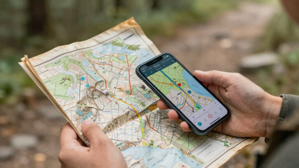
In today’s increasingly digital world, it’s easy to overlook the value of traditional paper maps. While digital tools offer convenience and real-time updates, paper maps bring a sense of reliability that technology can’t always match. When you rely solely on digital navigation, you might miss out on the historical accuracy embedded in old maps, which often reflect detailed, carefully researched representations of geography from different eras. These maps preserve the history of how regions have evolved, giving you a richer understanding of the landscape beyond just directions. Moreover, paper maps are immune to digital failures—no worries about dead batteries, poor signal, or software glitches. They remain a steadfast backup, especially in remote areas where GPS signals can falter.
From an environmental standpoint, paper maps have a different impact compared to digital devices. Producing paper maps involves resource use and energy consumption, but once printed, they don’t require electricity to operate. Digital tools, on the other hand, depend on data centers and electronic devices that consume significant energy and contribute to carbon footprints over time. When you combine the two, you can reduce your overall environmental impact. For example, using paper maps for planning and initial exploration minimizes the need for constantly updating digital files or relying on energy-intensive devices in the field. This balanced approach can lead to more sustainable travel habits, especially when you’re conscious of minimizing electronic waste and energy use.
You’ll find that pairing paper maps with digital tools enhances your navigation experience. Digital apps provide instant updates, traffic alerts, and search features that make it easy to adapt on the fly. Additionally, the accuracy of digital navigation continues to improve with advancements in technology, making them indispensable for modern travel. Meanwhile, paper maps serve as a reliable, broad overview, helping you understand the bigger picture, especially when technology fails or signals are weak. To deepen your understanding, it’s helpful to recognize the role of calibration in ensuring that both types of maps provide precise guidance. Incorporating traditional navigation skills alongside digital tools can further strengthen your confidence in unfamiliar terrain. Understanding the environmental impact of each method can help you make more informed choices about your travel habits. Combining these tools not only supports sustainable practices but also preserves the historical integrity of geographic knowledge, enriching your overall navigation experience.
topographic paper maps for hiking
As an affiliate, we earn on qualifying purchases.
As an affiliate, we earn on qualifying purchases.
Frequently Asked Questions
How Do Paper Maps Enhance Digital Navigation Experiences?
Paper maps enhance your digital navigation experience by allowing manual orientation, helping you understand your surroundings better. They boost your spatial awareness, making it easier to recognize landmarks and routes without relying solely on screens. When used together, you can cross-check directions, reduce digital dependence, and gain a more intuitive understanding of your environment. This combination creates a seamless, confident navigation experience, especially in unfamiliar or signal-deprived areas.
Can Paper Maps Reduce Digital Device Dependency?
Yes, paper maps can reduce your dependency on digital devices by providing reliable printed references when batteries die or signals fade. Using a paper map encourages you to develop spatial awareness and map preservation skills, fostering a deeper understanding of your surroundings. By relying on a tangible map, you gain confidence in navigation without electronic help, making your adventures more self-sufficient and less dependent on digital tools.
What Are the Environmental Impacts of Using Both Tools?
Using both paper maps and digital tools can reduce environmental impacts when you adopt eco-friendly practices. For example, paper maps promote resource conservation by encouraging mindful use and reducing reliance on energy-intensive devices. Notably, digital tools can minimize paper waste by offering reusable, easily updated maps. Balancing both allows you to enjoy resource conservation and eco-friendly practices, helping lower your overall carbon footprint while exploring efficiently and sustainably.
How Do Paper Maps Aid in Emergency Situations?
In emergencies, paper maps help you rely on traditional orientation when digital devices fail. They enable you to quickly identify landmarks and navigate without power or signal, which is essential in disaster situations. Your visual memory of the map’s details can guide you even under stress. By using paper maps, you maintain situational awareness, making informed decisions faster and reducing confusion when digital tools are compromised.
Are There Specific Scenarios Where Paper Maps Outperform Digital Tools?
Yes, there are scenarios where print maps outperform digital tools. When you’re in areas with poor signal or battery issues, print maps provide reliable, tactile navigation. They offer a quick overview without needing devices or power, making them ideal for remote adventures. Print maps also help you visualize terrain better, giving you a tangible sense of your surroundings and enhancing your navigation skills in challenging environments.
digital navigation apps for travel
As an affiliate, we earn on qualifying purchases.
As an affiliate, we earn on qualifying purchases.
Conclusion
So, why settle for just one when combining paper maps and digital tools creates a seamless navigation experience? You get the reliability and tactile feel of paper, plus the real-time updates and convenience of digital tech. Isn’t it smarter to leverage both, ensuring you’re never lost or disconnected? By blending these tools, you’re equipped for any adventure—whether offline or online. After all, isn’t having the best of both worlds the ultimate way to explore?
compass and map set for outdoor navigation
As an affiliate, we earn on qualifying purchases.
As an affiliate, we earn on qualifying purchases.
As an affiliate, we earn on qualifying purchases.